Precision from the Sky: How Aerial Survey and LiDAR Tech Are Shaping Australia’s Landscape
At LiDAR Solutions, we believe innovation should start from above. As infrastructure expands and the demand for detailed land data grows, nothing beats the speed and accuracy of an aerial survey powered by modern LiDAR technology.

An aerial survey allows us to cover vast and often inaccessible terrain quickly. Whether you're planning a construction project, managing natural resources, or assessing flood zones, getting an accurate view from the sky ensures you avoid costly mistakes on the ground. Traditional surveying methods can't compete when it comes to efficiency or scale.
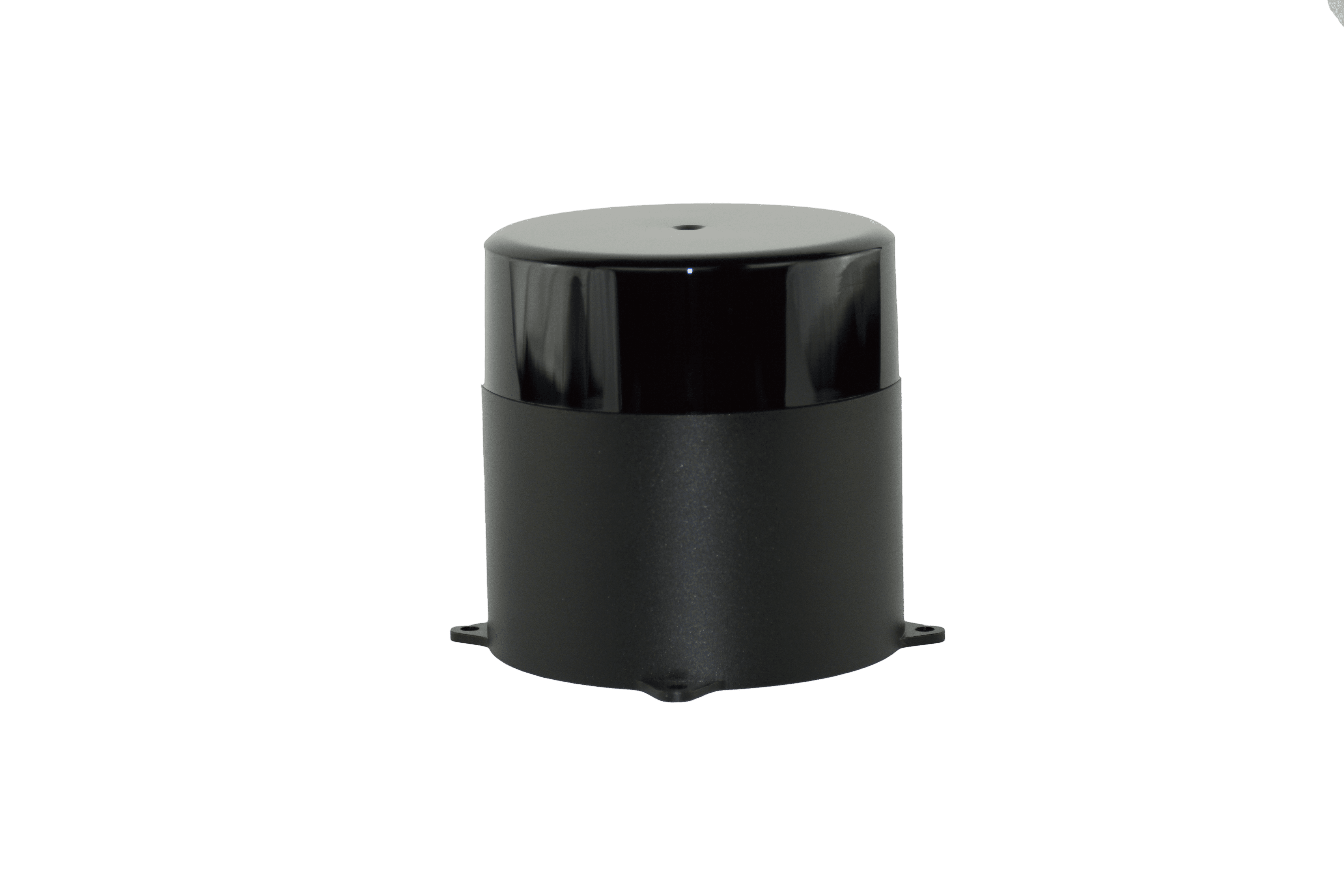
But the real power behind the scenes? It’s the LiDAR sensor. These devices use laser pulses to measure distance, capturing detailed 3D data of the Earth’s surface. Mounted on drones, planes or helicopters, a LiDAR sensor delivers unmatched accuracy—even through dense vegetation or rugged terrain. It doesn’t just scan the land—it captures its every curve, dip, and detail.
This technology is central to our LiDAR surveys, which support a wide range of sectors including civil engineering, urban development, mining, and agriculture. By using LiDAR surveys, you gain high-resolution digital elevation models, vegetation analysis, and volume calculations with speed and precision. You don’t wait weeks for results—we deliver actionable insights fast, so your team can move forward with confidence.
Our clients across Australia rely on this data for everything from planning solar farms to laying new roads. Developers, councils, and consultants trust our team because we don’t just provide raw data—we provide clarity. Every scan comes with expert analysis, so you always know what lies beneath.
We’ve built our services around flexibility. Whether you need recurring site monitoring or a once-off terrain map, we tailor each job to your timeline and budget. Our experienced pilots and GIS specialists operate with strict compliance and safety protocols, ensuring every project is completed with accuracy and care.
In an age where speed matters, LiDAR Solutions leads with high-efficiency technology and down-to-earth expertise. From topographical mapping to floodplain modelling, we help you see the full picture—literally.
If you're ready to upgrade your approach to surveying, it’s time to fly higher. Contact us today to learn more about how our aerial data services can support your next project.
Comments
Post a Comment