Posts

Showing posts with the label lidar

Enhancing Survey Accuracy with Aerial Surveys and LiDAR Sensors

Image
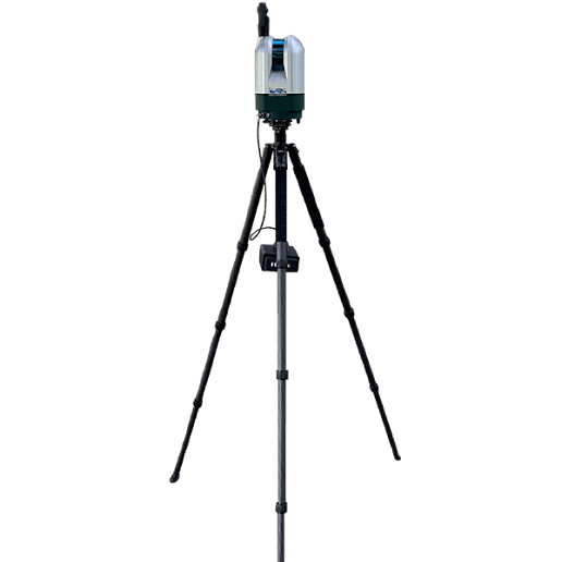
In modern surveying, the combination of aerial surveys and LiDAR sensors has taken data collection to a whole new level. These advanced technologies allow professionals to gather precise and comprehensive data quickly and efficiently, transforming the way projects are planned and executed. Whether you're working on land development, infrastructure projects, or environmental assessments, aerial surveys paired with LiDAR sensors offer unmatched accuracy and speed. Aerial surveys have revolutionised how surveyors capture data. Drones or aircraft equipped with LiDAR sensors can fly over vast areas, capturing high-resolution measurements of the terrain. This technology eliminates the need for time-consuming and often dangerous fieldwork, offering a safer and faster alternative to traditional ground surveying. Aerial surveys allow you to cover large areas, including hard-to-reach or hazardous locations, such as dense forests, steep slopes, or urban environments. The real power lies ...

Why Is Lidar Important: Choose High Accuracy and Precision

Image
The accuracy of LiDAR is one of its most notable advantages. It is capable of taking precise measurements down to the nearest centimetre. Due to this level of detail, it is ideal for applications such as surveying, construction, and forestry management that require a high degree of precision. Experts can make better judgments because of LiDAR's capacity to create incredibly precise topographic maps and 3D models. Unmatched Time Efficiency, Accuracy, and Precision The remarkable precision of 3D laser scanning is among its most important advantages. Human error can cause inconsistencies and inefficiencies in traditional surveying and measuring techniques. For sectors like manufacturing, construction, and architecture that require a high degree of accuracy, this level of precision is crucial. Particularly in big or complicated situations, traditional measuring techniques can be time-consuming and labour-intensive. Data can be gathered more quickly using 3D laser scanning, frequ...

Exploring LiDAR: Revolutionising 3D Mapping and Scanning

Image
Light Detection and Ranging also popularly referred to as LiDAR is becoming a widely used technology for many different purposes as it is quite relevant for the modern technology-focused world. This technology uses pulsated laser beams that can be used for measuring distance and hence that information can be suitably converted into a 3D map of that specific environment. 3D laser scanning is actually used in many different places nowadays for many different reasons however the general purpose is mostly for creating a map of the environment in a three-dimensional way. Some of the leading products using light detection and ranging would be wind and atmospheric monitoring LiDARs, Survey LiDARs, sensors and also other products that are required for LiDARs like PointCloud Processing Software, and Automated Guided Vehicle. Discussing Some Major Light Detection and Ranging Solutions Used Nowadays Wind LiDARs: As the name suggests these products are used for the purpose of measuring wind...

LiDAR VS Traditional Methods- A Look at the Future of Measurement

Image
For centuries, humans have relied on a variety of tools and techniques to measure the world around them. But as technology continues to evolve, so too do our measurement capabilities. LiDAR (Light Detection and Ranging) is rapidly emerging as a revolutionary tool with the potential to transform how we measure everything from buildings to landscapes. The Limitations of Traditional Methods Traditional measurement methods often have inherent limitations. For example, surveying large areas can be time-consuming and labour-intensive. Melbourne wind radar , while effective for measuring wind speed and direction at a distance, can't provide detailed information about objects beyond their range. Contact-based methods, like tape measures, may not be suitable for delicate or uneven surfaces. Additionally, some traditional methods require a direct line of sight, which can be a challenge in cluttered environments. What is LiDAR? LiDAR works by emitting pulses of light, typically from a l...

Discovering the Levels of Light Observation and Ranging with LiDAR

Image
LiDAR , an optical technology, is frequently mentioned as a crucial technique for driverless cars to sense distance. Several businesses are attempting to create tiny, affordable LiDAR systems. It pulses laser light and counts how long it takes for the light to strike an item and return to the sensor. Since the pulses are released every nanosecond, it is possible to scan an area quickly and thoroughly while obtaining precise 3D pictures that may be used to make elevation maps and other projects. Finding Possible Risks and Lowering Employee Risk Drone surveying and inspections provide several benefits, chief among which is their capacity to detect any safety risks. Drones fitted with thermal imaging sensors and cutting-edge algorithms may identify irregularities that can point to structural deterioration or other problems. Drones, for instance, can detect leaks in tanks that could endanger worker safety or fractures in pipelines or metal buildings. Furthermore, personnel no longer ne...