LiDAR Survey: Taking Drone Services in Australia to the Next Level
Drone services in Australia are booming, transforming various sectors with their efficiency and innovative applications. But a powerful new technology is pushing the boundaries even further: LiDAR (Light Detection and Ranging). Let's explore how LiDAR surveys are taking drone services in Australia to the next level.
Beyond Breathtaking Views: The Power of LiDAR
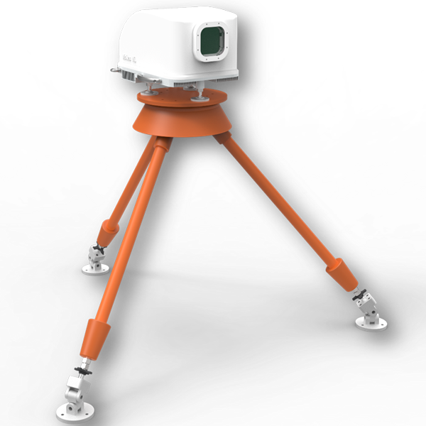
Unlike traditional drone photography that captures high-resolution images, LiDAR survey uses pulsed laser light to generate precise 3D point clouds of a target area. Each laser pulse measures the distance between the drone and the ground, building a point-by-point map with incredible detail. This data goes beyond visuals; it captures the exact dimensions and shapes of objects on the ground.

Unlocking a World of Applications:
This detailed 3D data from LiDAR surveys unlocks a vast array of possibilities for Australian businesses:
- Enhanced Construction Planning: Accurately measure complex terrain for construction projects, calculate volumes for earthworks, and create 3D models for better planning and cost estimation.
- Revolutionizing Infrastructure Management: Inspect bridges, pipelines, and other infrastructure with pinpoint accuracy, identify potential problems early on, and plan maintenance efficiently.
- Optimizing Land Management: Create detailed topographic maps for forestry, agriculture, and environmental monitoring. LiDAR can even penetrate vegetation to map the ground beneath the canopy.
- Rapid Disaster Response: Quickly assess damage after natural disasters like floods or bushfires, enabling faster and more targeted relief efforts.
The Australian Advantage:
Australia's diverse landscapes, from sprawling outback to intricate coastlines, present unique challenges for traditional surveying methods. LiDAR-equipped drones can navigate these terrains with ease, collecting data in remote areas that might be difficult or dangerous to access on foot. This makes LiDAR surveys a game-changer for projects across the continent.
The Future of Drone Services:
As LiDAR technology integrates seamlessly with drone platforms, we can expect even more exciting advancements in Australian drone services. Imagine a real-time generation of 3D models during surveys, allowing for immediate data analysis and informed decision-making on the spot. The possibilities for industries like mining, environmental conservation, and urban planning are endless.
Forward-thinking Australian businesses are already embracing LiDAR surveys to gain a competitive edge. The ability to collect highly accurate 3D data quickly and cost-effectively is revolutionizing workflows and driving innovation across various sectors.
Comments
Post a Comment